Aerial & Perimeter Surveillance
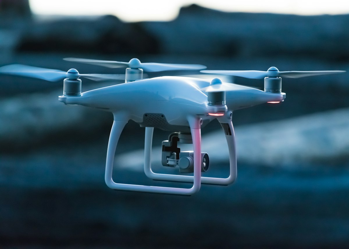
Genovax Aerial equips autonomous UAVs and high-mast cameras with real-time computer vision, maintaining continuous 360-degree perimeter integrity and early intrusion detection.
Manual Blind Spots & Delayed Alerts
Expansive geographical facilities like maritime ports, border perimeters, and remote solar or utility grids cannot be monitored effectively with static ground cameras alone.
Continuous Sub-Second Computer Vision
Genovax Aerial equips autonomous UAVs and high-mast cameras with real-time computer vision, maintaining continuous 360-degree perimeter integrity and early intrusion detection.
How Aerial & Perimeter Surveillance Operates in Production
Autonomous UAV captures high-altitude 4K feed over perimeter sector
Onboard edge neural network detects movement and breaches in real time
Geospatial coordinates calculated and synced with ground security GIS
Automated spotlight tracking and security dispatch triggered in <400ms
Core Operational Features
- Long-range autonomous aerial perimeter geofencing
- Vessel, vehicle, and intruder classification from altitude
- GPS coordinate projection and live trajectory tracking
- Thermal and low-light optical payload sensor fusion
Technical Capabilities
- Dynamic gimbal stabilization and wind jitter compensation
- Sub-meter GPS coordinate projection accuracy
- Operates in low-bandwidth telemetry conditions (<2 Mbps)
- STANAG & open GIS standard data streaming protocols
Underlying GPU Pipeline Architecture
Zero-Memory-Copy Accelerated Architecture
Computer Vision Pipeline
Extracts high-dimensional spatial feature representations across industrial machinery, workers, gear, vehicles, and hazardous boundaries.
- Dual-backbone feature pyramid networks for micro-object detection
- Pose keypoint extraction for ergonomics and slip-and-fall alarms
- Multi-head classification for sub-category asset discrimination